
Image Metadata Remover
Create a newly encoded PNG, JPEG or WebP from a local image and remove its original embedded metadata.
Open toolInspect supported EXIF, GPS and other metadata in a local JPEG, PNG or WebP image without uploading it.
Enter the inputs, then select Read metadata.
Result will appear here
Use exifr to parse supported image metadata and display tag names and values as text.
Only tags present in the image and supported by the parser are shown. Images can have no EXIF data. Metadata can be edited or missing and does not prove when or where an image was taken. GPS values, if present, remain visible in the results.
Select a local JPEG, PNG or WebP, read its supported metadata, and review the tag values in the table.
Select a JPEG, PNG or WebP under 10 MB. The parser reads supported metadata from the selected file without uploading it.
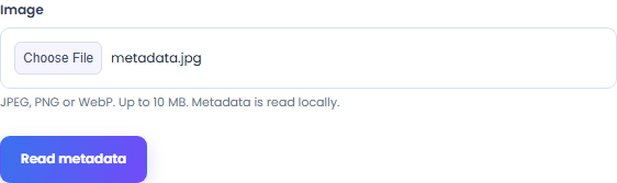
Select Read metadata to inspect supported EXIF, GPS and other image records. The table shows the tag names and values found by the parser; an image without supported records may return no metadata.
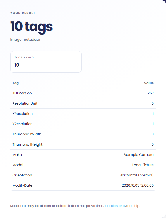
Read the tag names and values in the result table. GPS coordinates, if available, remain plain text and no map opens automatically.
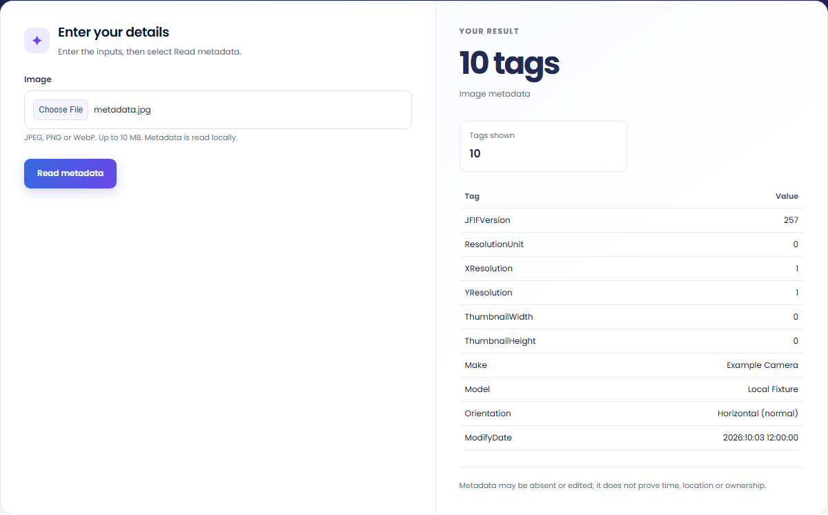
Inspect the available file records before sharing or comparing image versions.
Look for available camera make, model or exposure tags. Edited or stripped images may lack these fields.

Review whether supported GPS fields are present before sharing a file. A missing tag does not prove that the image contains no identifying information.

Inspect the source image, then open a version made by Image Metadata Remover to compare the supported tags shown by this parser.

Treat the displayed tags as file records, with missing or edited values possible.
The table contains supported tags found in the file. A no-metadata result means no supported records were exposed; it does not authenticate or certify the image.

Use a supported local file and distinguish the parser's tag report from an image-authenticity assessment.
Images are limited to 10 MB, and the table displays up to 300 supported tags. The main tag count reports all records found by the parser, while Tags shown reports the rows included in the table.
Unsupported, removed or edited metadata can leave an incomplete report. Treat timestamps and GPS coordinates as file data rather than proof of when or where a photo was taken. The viewer shows available coordinates as text and does not open a map automatically.

Create a newly encoded PNG, JPEG or WebP from a local image and remove its original embedded metadata.
Open tool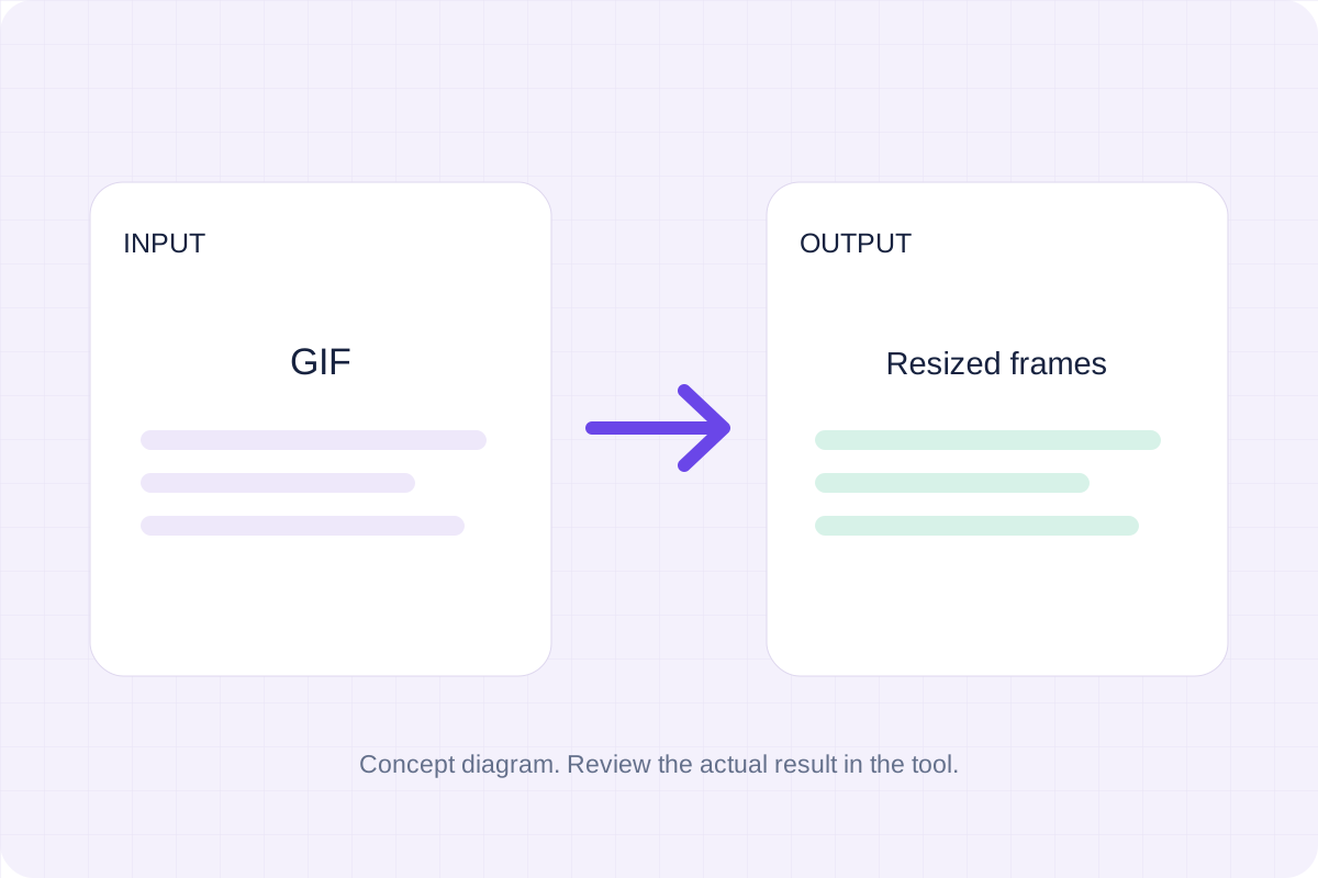
Resize an animated GIF to a target width while keeping its frame sequence and timing. Download the resized GIF.
Open tool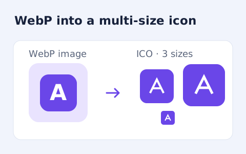
Convert a WebP image into a downloadable multi-size ICO file.
Open toolChoose another tool for your next calculation, conversion, or text task.
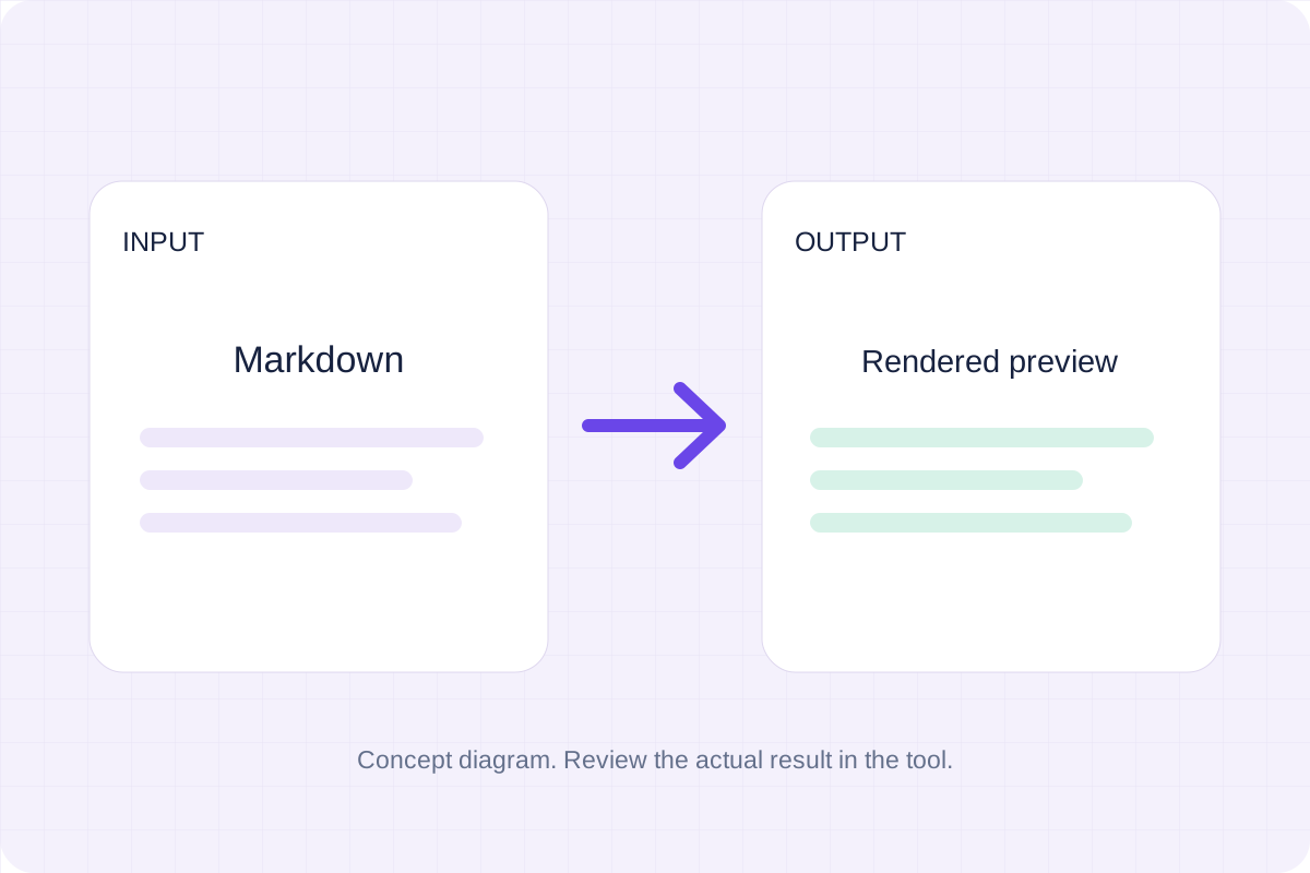
Write Markdown, update the rendered preview and download the Markdown or HTML when it is ready.
Open tool
Compare two JSON values by structure. See changed paths without treating object key order as a difference.
Open tool
Check CSV quoting and consistent column counts, then review the record count and selected delimiter.
Open tool
Remove scripts, event handlers and unsupported markup from basic HTML. Review the cleaned fragment and a contained preview.
Open toolInspect supported EXIF, GPS and other metadata in a local JPEG, PNG or WebP image without uploading it.
Answers about using EXIF Viewer and understanding its results.
The file may have no supported metadata, or the format may store information the parser does not expose.
No. GPS coordinates are displayed as text and no map request is made.